Showing posts with label africa wall map. Show all posts

Tuesday, March 5, 2013

Congo Map: Thousands Flee Fighting in East Congo

Mapsales examines these Congo maps as thousands flee their homes. The fighting in east Democratic Republic of Congo between rebels and government forces continues today, despite an overwhelming death toll.

Death Toll at 70, Possibly More

The fighting began last week in the town of Kitchanga, which is in Nord-Kivu, found on this Democratic Republic of Congo Map. The Democratic Republic of Congo is the second largest country in Africa by area. The Democratic Republic of Congo features a variety of geographic features including mountains, the Congo River, rain forest and savannas.

Congo Map: Democratic Republic of Congo Physical Wall Map
Map of the Democratic Republic of Congo
The rivers and mountains are seen on this physical Democratic Republic of Congo Map. The Albertine Rift Mountains experiences volcanic activity which has exposed an enormous amount of mineral wealth. Gold, copper, diamonds, cobalt, cadmium, silver, and coal are just a sample of the plentiful supply of minerals. However, where there is wealth, there is also conflict.


Brief History of African Conflicts 

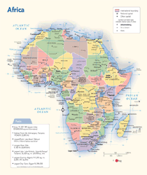
The Second Congo War, also known as the African World War, began in 1998 and involved nine African nations and twenty armed groups. As fighting surges and decreases in neighboring countries, refugees on the losing side flee to nearby countries, sometimes restarting conflicts. Countries such as Rwanda and Uganda may sound familiar due to the amount of fighting in recent decades. Take a look at the Democratic Republic of Congo's neighboring countries on this political Africa Wall Map. Although peace treaties were signed in 2003, the fighting continues in the east. Ethnic tensions and battles over resources add to the complexity of the conflict.

Africa Wall Map - Political


Over 10,000 people have gathered in front of the UN base in Kitchanga, fleeing the fighting and torched homes. It appears that fighters on both sides of the conflict are accused of violence toward civilians, killing 5.4 million people since 1998.

Wednesday, January 16, 2013

Conflict in Mali and the French Intervention

Mali, an African nation once viewed as a democratic model, has been ravaged by conflict in recent weeks. mapsales.com takes a look the current conflict and the history of Mali.


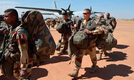
Last night, the French military launched its ground assault in the African nation of Mali. Their targets included the cities of Diabaly and Niono. Residents of Niono, a city in the center of Mali which is just south of a town that was overrun by Islamist extremists earlier this week, said they saw trucks of French soldiers arrive literally “overnight”.


Take a look at a Mali wall map to familiarize yourself with the region. Mali, a former French colony, has had a tumultuous past. After gaining its independence in 1960, Mali established a democratic constitution in 1991. It was a multi-party state until a conflict arose early last year. A group of soldiers seized the presidential palace, declaring the dissolution of the government and the suspension of the constitution. Rebels from the northern region of Azawad declared secession from the country in April 2012, but their declaration was withdrawn after being pressured by Islamist extremist groups.


A civilian government, led by interim president Dioncounda Traoré, was put in place by the junta. But Traoré was removed in a second military coup in December 2012. Since then, many regions of the country have become defenseless, with the national army unable to guard citizens from the violence of Islamist extremists in the northern desert. Earlier this month, the Islamists charged southward with a force of 800 to 900 fighters in 50 to 200 vehicles, taking over a frontier town that had been the de facto line of government control.


This was the act that drew France into the conflict. Worried that there was little to stop the militants from storming ever further into Mali, France sent its infantry into combat. But even with airstrikes around rebel camps and ground troops raiding rebel-controlled villages, the French have yet to remove the Islamist militants from the city of Diabaly, located only 250 miles from Mali’s capital.


Click here to view a zoom-able Mali wall map. Looking at the map of Mali, you can find the locations of major cities like Bamako, Niono, and Diabaly. The next time you see or hear a news story about an unfamiliar area, take a look at a wall map. Maps can help us learn more about what’s going on in the world.

Thursday, January 3, 2013

The 10 Best Treks in the World: Pays Dogon, Mali


For all you hikers, backpackers, mountain climbers, and adventure-seekers out there, mapsales.com gives you the 10 best treks in the world.  Today we look at the villages of Pays Dogon, Mali. 


Mali is a landlocked country in Western Africa.  During the Scramble for Africa in the 19th century, Mali was conquered by the French.  But prior to the French invasion, Mali was part of one of the largest empires in Africa.  If you visit Mali, make sure to bring a guide that speaks French, as English speakers are hard to come by (although they are growing in number).  Here’s a Mali wall map. 


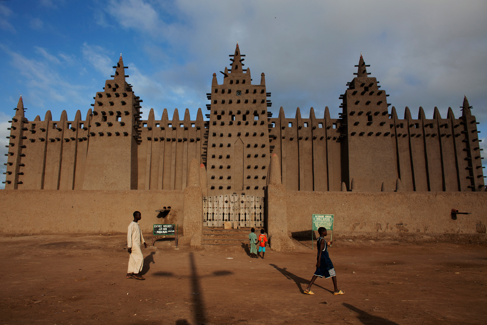
Mali may be classified as a developing country, but it is also home to 4 unique UNESCO World-Heritage sites.  Pays Dogon is one of these four sites.  Pays Dogon is a region in south-central Mali renowned for its numerous villages embedded into cliffs and mountainsides.  Some of these cliffs stand 500 meters high. 


The Dogon people have inhabited this region for nearly 1000 years and have developed their own religion, language, and culture.  Trekking this region gives you access to rare cultural experiences and breathtaking views, but it is strenuous.  Local villagers hike up mountain trails in sandals, often carrying heavy loads of clothing or food on their heads.  But they are experienced.  If you’re planning on hiking the mountain trails of Pays Dogon, bring good hiking shoes and plenty of supplies.  This trek can take anywhere from 2 to 10 days. 


If you’ve made this remarkable journey, or are planning to make it in the future, use a wall map to commemorate your achievement.  Trace your hiking path onto a wall map to see just how grand your accomplishment truly is.  Maps also make great mementos of vacations and travel destinations. 

Want to map a journey you’ve taken? Contact us!  mapsales.com carries over 200,000 wall maps…including national park and road wall maps! 


Click here for more maps of the world!